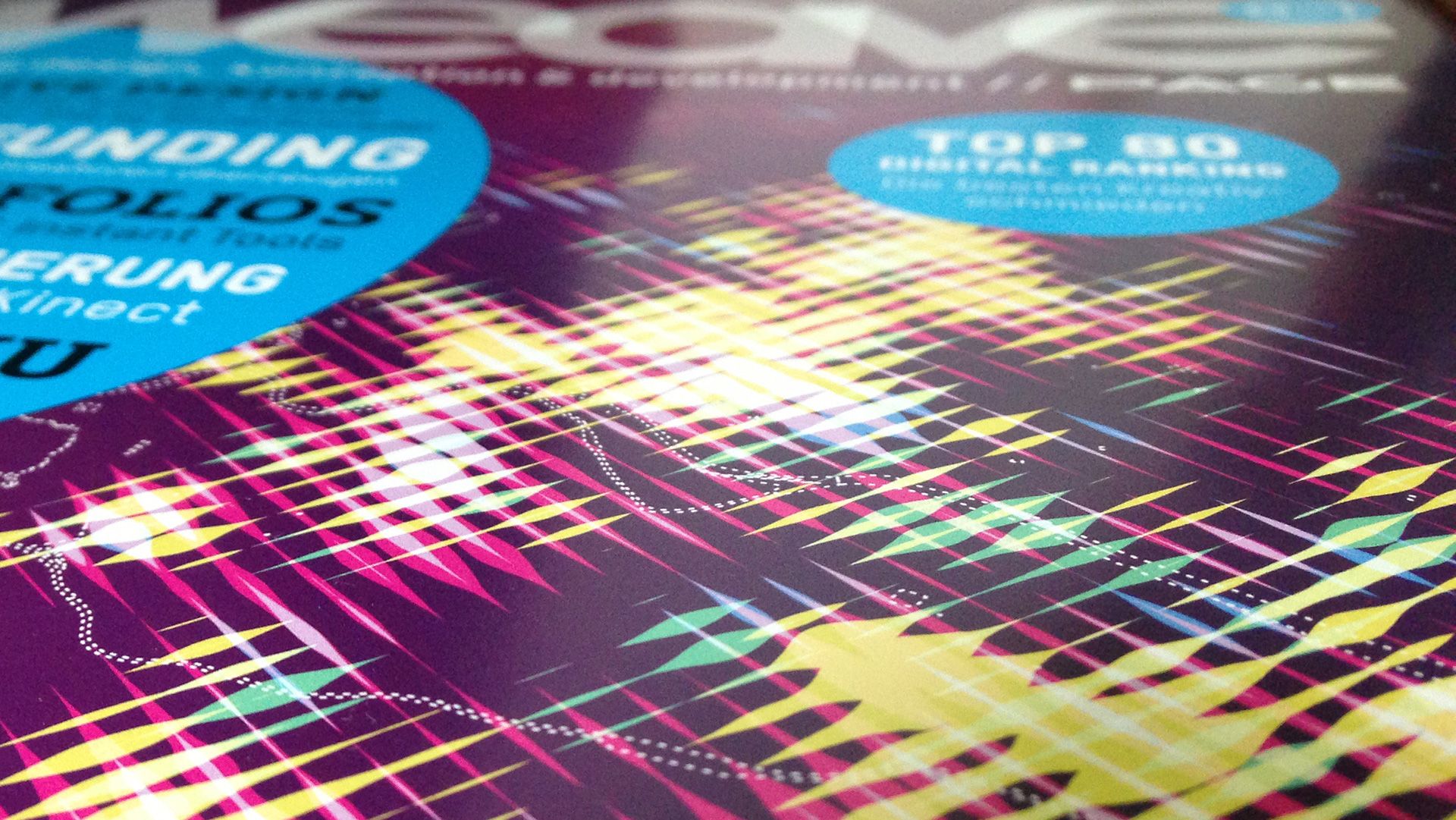
WEAVE magazine cover
WEAVE magazine featured my Stadtbilder project on as cover image of edition 03/2013
Related projects

More media coverage

The functional art

Substratum
Thanks to the fine folks at Substratum for interviewing me.
 Play video
Explore Explain S6E8 with Enrico Bertini
Together with Enrico Bertini, I appeared in a special two-part episode of Andy Kirk's Explore Explain series. We each shared five significant visualization-related works by others that have most influenced our thinking about data visualization, plus a selection from our own work that has been significant to our careers. Watch part 1 and part 2.